
A Watch Dog in the Sky Towards National Development
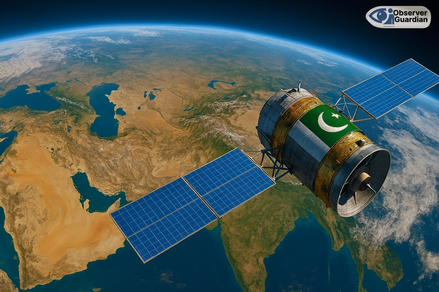
Pakistan has come to maturity in the move towards becoming technologically self-reliant. Its new remote sensing satellite is in orbit and has started operations successfully launched in China. Not only is this a technological triumph, it is a strategic asset of national development. The capacity of the satellite to deliver high-resolution imagery will transform much of industries such as town planning, disaster response, agriculture and environmental safeguard. This fresh pair of eyes on high will give real-time information and knowledge that could not otherwise be researched.
This satellite will be of importance in big national plans like the China-Pakistan Economic Corridor CPEC. It is able to give finer geospatial mapping of development infrastructure such as road and railways. It is also useful in detecting geo-hazards and more efficient management of resources. This will render CPEC projects safer and efficient. The satellite will also come in handy to urban planners. By observing the urban sprawls and developmental patterns, it will be able to assist cities to develop more sustainably and orderly in an organized manner. This information can be utilized to plan better roads and urban infrastructure. This is invaluable in dealing with the high rate of urbanization being witnessed in Pakistan.
This is in addition to infrastructure and urban planning as the satellite will have deep implications with regards to disaster management. Pakistan faces a great risk of natural catastrophes such as floods and earthquakes. The satellite has the ability to facilitate early warnings and real-time data with regards to disaster. This will facilitate authorities to plan on immediate acts of relief as well as support effective recovery operations. It could, to put an example, be able to easily map areas already hit by floods and also show the movements of water to enable a prediction and reduction of this as well in future. This increased capacity to react to disasters will save lives as well as property.
China successfully sent Pakistan’s remote sensing satellite-01 into preset orbit via the Kuaizhou-1A carrier rocket on Thursday morning from Xichang Satellite Launch Center in SW China’s Sichuan Province. The satellite is tasked to provide services including national land survey…
pic.twitter.com/kQK1xCUjWv— Global Times (@globaltimesnews)
July 31, 2025
A Leap Forward to a Sustainable Future
The new satellite will become an important asset to agriculture that is the main pillar of the Pakistani economy. High-resolution photos will allow farmers and agricultural experts to monitor the health of crops as well as measuring their production.
This can assist with recognizing early indicators of crop stress because of pests or disease so that remedial action can be taken in time. Such an ability will enhance agricultural output and food security. Water resource management is also a serious issue in Pakistan, the satellite can assist in such tasks. It has the ability to control the level of water along rivers and reservoirs, it can also measure glacier melting. That will be useful information in long-range water security planning.
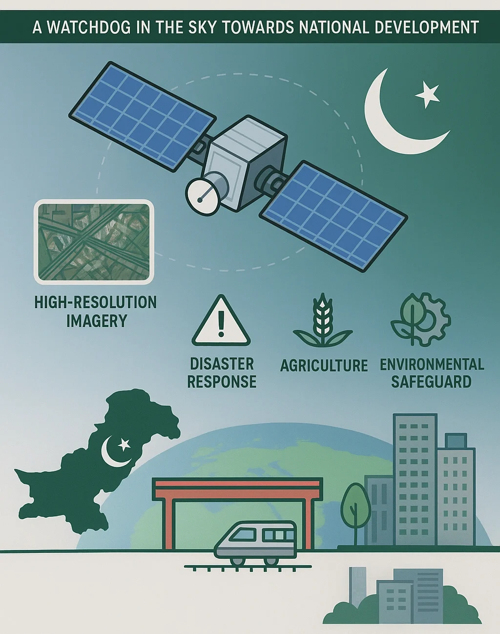
This technological advance is also an indication of a major interest in environmental conservation. The satellite can observe clearance and can trace soil erosion. This will assist in coming up with effective conservation programs and fighting climate change. This information will be imperative in measuring the impacts of climate change in Pakistan and in achieving environmental targets in the country. It depicts that Pakistan takes the utilization of technology in an eco-friendly future seriously.
Significantly, assistance by China in launching and transfer of technology is a pointer to the good relations between the two. Such collaborations do not only increase the technology of Pakistan, but also as a space-faring nation. It is a daring statement of intention. The successful launch of the satellite is a new story of Pakistan, a story characterized by innovation, self-reliance and development. It will enable Pakistan to make informed decisions and provide Pakistan with adequate resources management to ensure the better future of the people with better security.
Operational readiness of the satellite now enables Pakistan to make use of space-based technology to meet many of its national demands. This is a landmark move that will make quality contributions toward sustainable socio-economic development and technological independence of the nation. It demonstrates to the world that Pakistan is on an innovation path and is willing to take its challenges using innovative solutions.
This is a tremendous technological and strategic accomplishment by Pakistan with the successful launch of a new remote sensing satellite. This satellite which was launched in collaboration with China has a great deal of stepping on national self-reliance. And it takes extremely high-resolution images that are vital in urban planning, rescue services, agriculture and environmental sustainability. The satellite would become an important tool in key projects such as the CPEC where it can be used to oversee construction of infrastructure, control natural resources and others. This emerging ability will also assist in proper disaster response and provide support to long-term sustainability.
Disclaimer: The views and opinions expressed in this article are exclusively those of the author and do not reflect the official stance, policies, or perspectives of the Platform.